Walking trips on the snow
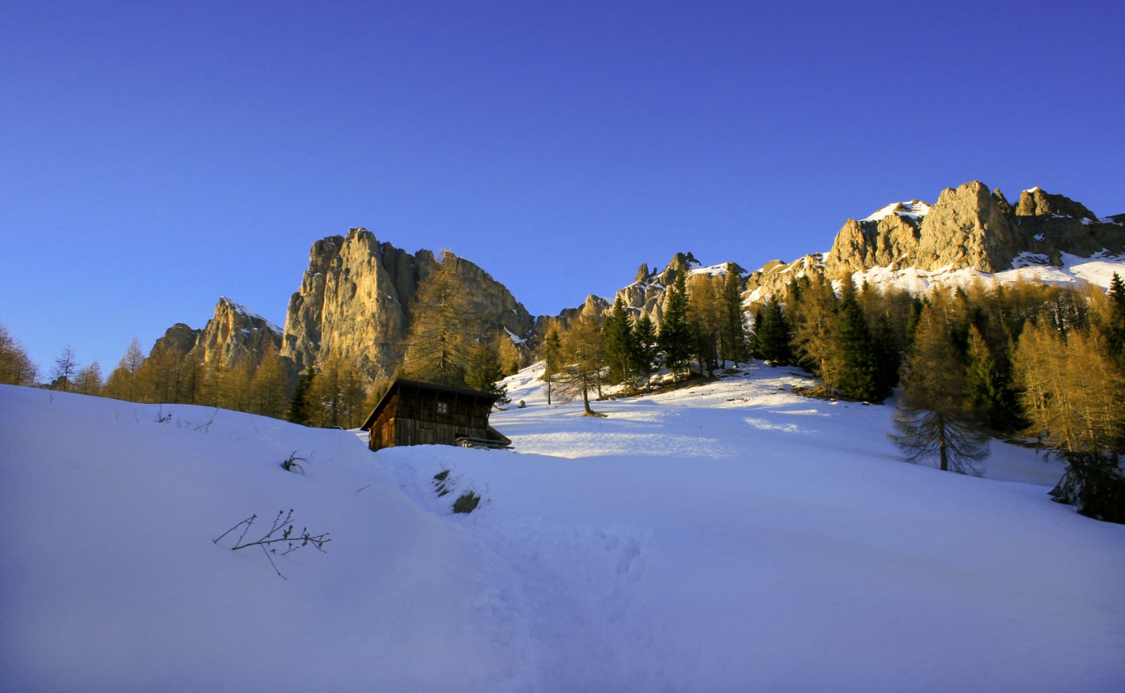
The Val del Biois offers a variety of groomed snow trails, making it ideal for walking trips on the snow, both at the bottom of the valley and at altitude, or among the higher-up neighbourhoods of the villages. No particular equipment is required other than a pair of good hiking boots suitable for use in the mountains.
In all cases, before setting off on a walking trip, it is advisable to check that the weather conditions and the snow forecast are such that the route can be tackled with maximum safety, ensuring that the walk is feasible.
Suggested below are a number of walking itineraries on the snow that will allow you to make close contact with the beauty and the sounds of nature of the Belluno Dolomites, a Unesco World Heritage site.
“LA CAVALERA” WALK AT THE VALLEY BOTTOM
From the Piana di Falcade plain to Canale d’Agordo
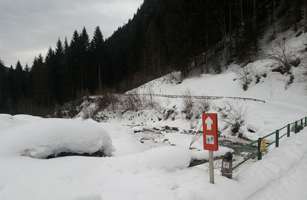
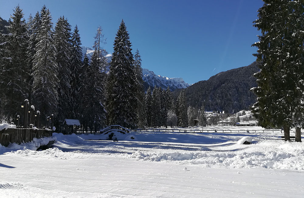
Route: simple walk, suitable for everyone, which starts out from the Piana di Falcade pain, alongside the Biois stream and takes you to Canale d’Agordo.
The walking route is groomed by a snow plough, and does not require particular physical training; all that’s necessary is appropriate clothing for a walk on the snow.
1 hour
Easy
WALK THROUGH THE NEIGHBOURHOODS: SAPPADE-JORE
From the neighbourhood of Sappade
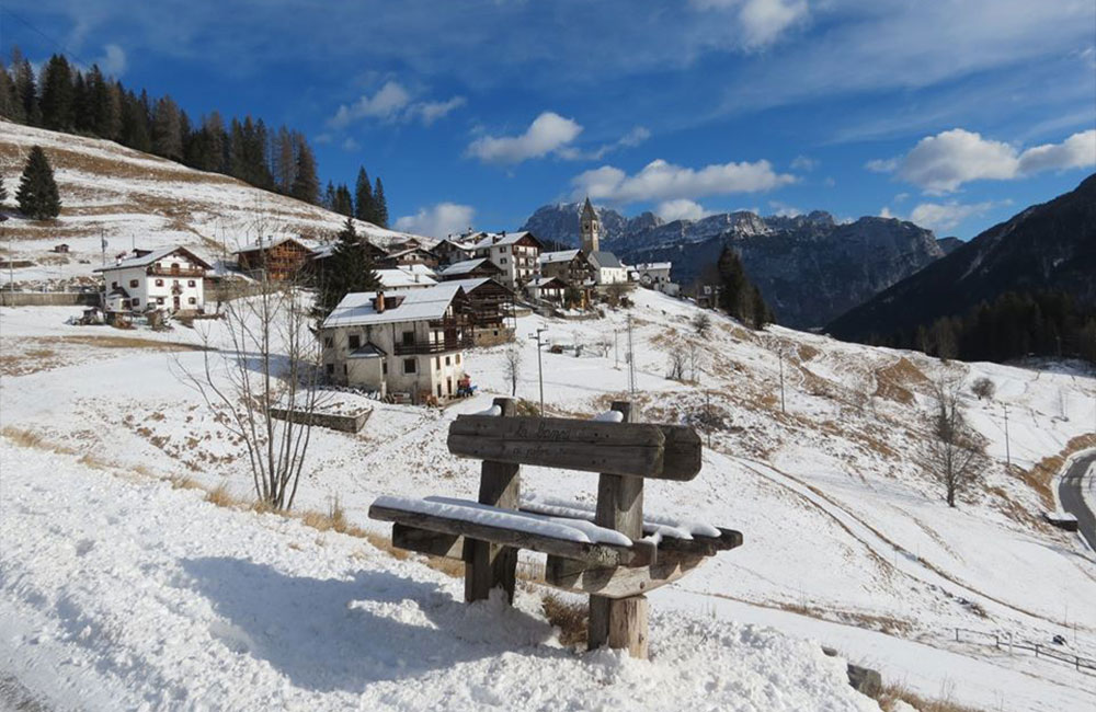
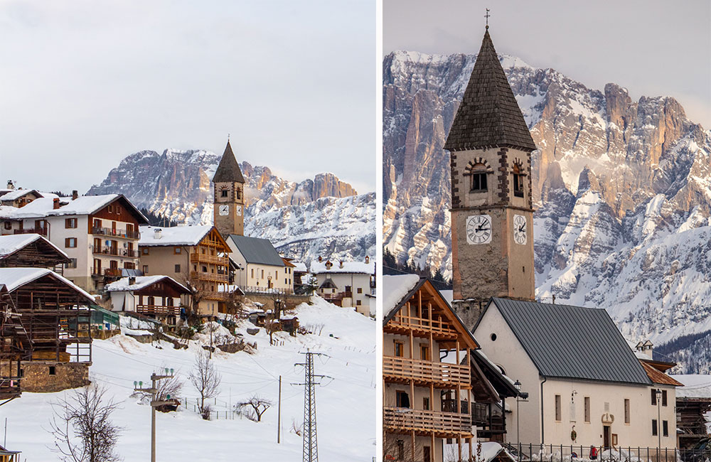
Route: the route begins in the little village of Sappade (1396 m asl, just a few minutes’ drive from Caviola or Falcade. Once you walk through the little village and past the church, turn left and go up for about 100 m, then take the mule track towards Jore (clearly signposted).
After a brief uphill stretch, the path continues pleasantly up and down; continue for about 30 minutes along the main road (you’ll find indications at every fork). When you reach your destination, you’ll find a delightful little hamlet, now composed of a house, a little church and a capital dedicated to San Rocco Pellegrino.
1 hour outbound, 40 minutes for the return route.
Easy
WALK THROUGH THE NEIGHBOURHOODS OF FREGONA AND FEDER
A walk around the environs of Caviola
Route: the round-trip route starts out from the square in the little village of Feder (1267 m asl), which you can drive to from Caviola. Follow the asphalt road that goes up towards the left just before the little church.
After an uphill stretch of about 50 metres, you’ll come to the well-groomed path that leads, in about 40 minutes, to the Forcella Lagazzon saddle, through a pleasant fir wood. From here, take the asphalt road to the right, which will take you to the characteristic little neighbourhood of Fregona, which is well worth a visit. To return to Feder, just follow the road that goes down towards Caviola, turning right at the first fork you come to.
WALK AT ALTITUDE AT COLMONT
Departure from the Forcella Lagazzon saddle
Route: he route starts out from the Forcella Lagazzon saddle (1358 m asl), about a hundred metres after the refuge of the same name, which you can reach by car from Caviola, following the signs for Fregona.
The route winds its way along the CAI (Italian Alpine Club) path no. 687, a fairly easy mule track – which does have some very steep stretches – that runs through woodland for most of the walk. After an uphill stretch of about 2.5 km (continuing along the main road), you’ll come to the Baita Colmont mountain hut (1854 m asl), from where you can enjoy fabulous views of the peaks that surround the Biois Valley.
Although the winter trail to reach the mountain hut is usually well groomed, it is advisable to have crampons with you, as you may encounter icy stretches on the way down.
1 hour outbound, 50 minutes for the return route.
Medium
WALK AT ALTITUDE – VALLES PASS – LARESEI
Route from the Valles Pass to the Laresei Refuge
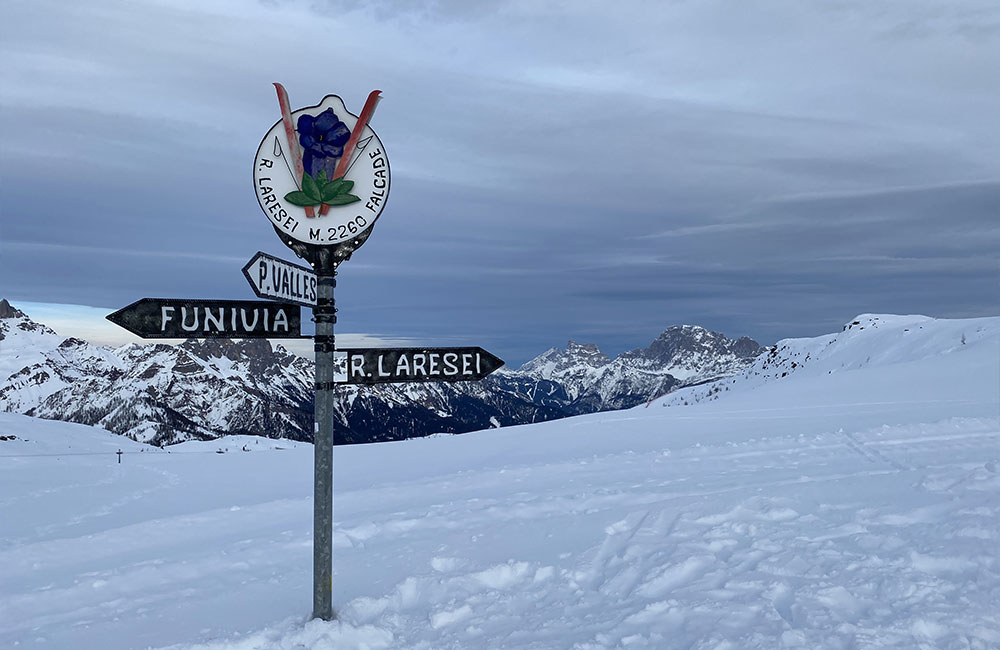
Route: the route starts from the Valles Pass (2032 m asl), which can be reached by car from Falcade. Follow the ski run that goes down to the right of the Passo Valles refuge, from the side opposite the parking area.
The route is well groomed, with beautiful scenery. Watch out for skiers on some stretches.
When you come to an intersection of ski runs, carefully cross the one that comes down from Laresei, and follow the more attractive beaten track that climbs up alongside the run.
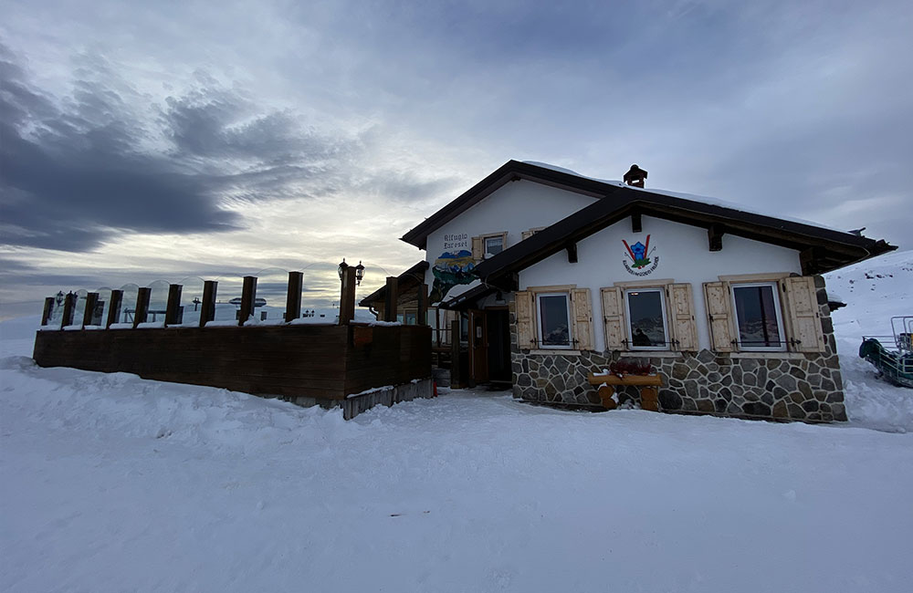
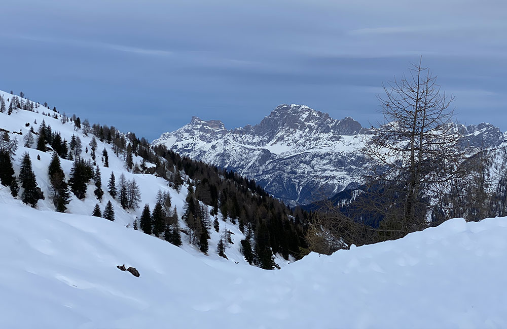
When you come to the end of the route, after an altitude difference of 200 m, you can spot the Laresei Refuge (2252 m asl), with views right over the surrounding Dolomites, from the Marmolada to the Cime del Focobon peaks.
1h and 30 minutes outbound, plus 1 hour for the return route
Medium
WALK AT ALTITUDE IN VALFREDA
Round trip trail in Valfredda
Route:follow the indications for Valfreda, turning right just before you reach the San Pellegrino Pass (approx. 1880 m asl).
You can leave your car about 800 m after the Col de Mez parking area and walk along the little road that starts immediately on the left and initially makes its way through some fairytale woodland, leading, after a short walk, to the famous Casoni di Valfreda.
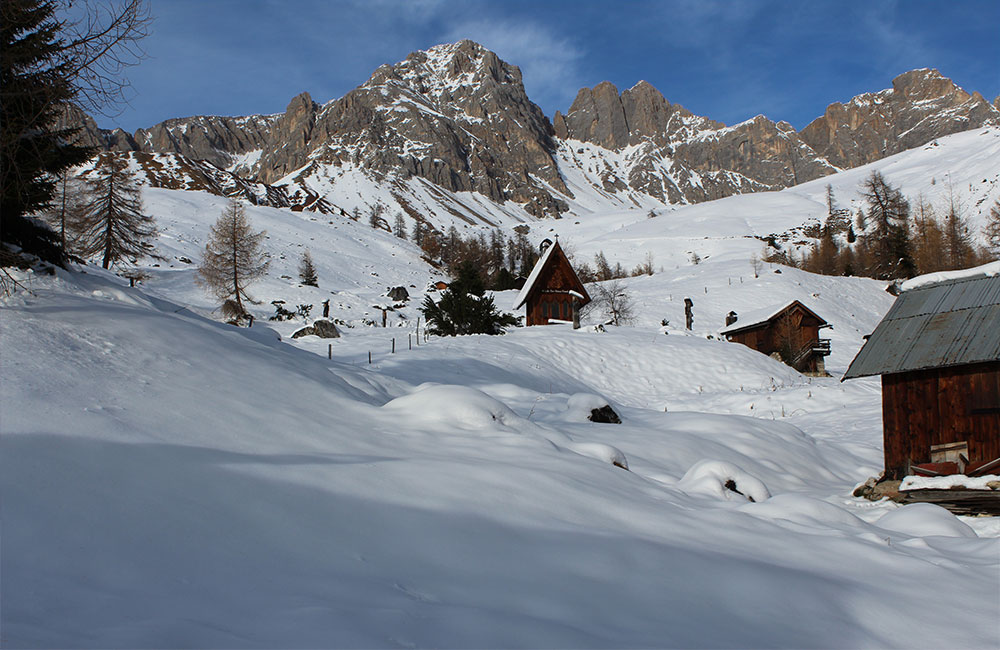
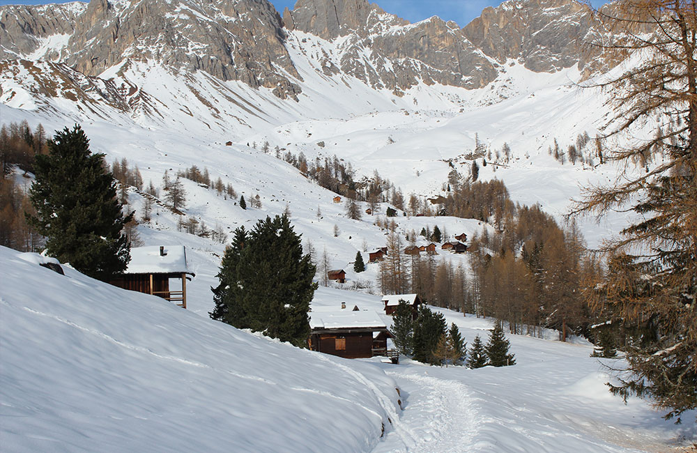
The Casoni di Valfreda are little shepherds’ shelters that have recently been turned into private mountain huts for walkers in this natural paradise, nestled on green meadows in the summer and surrounded in the winter by immaculate snow, encircled by the magnificent rocky pinnacles of the Marmolada mountains, in the Unesco Dolomites.
You can reach as far as the little church dedicated to the Blessed Piergiorgio Frassati. Suitable winter hiking equipment, because you may encounter icy or slippery stretches.
If you prefer to take a different route back, from Valfreda you can continue in the direction of Fuciade and thus return to your car along a round-trip trail.
about 2 hours
Easy – more challenging if you go on to Fuciade

 Webcam
 Weather
 Lifts
Lifts


